MEET THE COAST

Find a little space by the sea.

Compare beach settings across the country, then use each destination guide to plan your actual base and access.

Playa Sosúa ↗

A beach visit to investigate from a Sosúa stay, distinct from the nearby Playa Alicia setting.

The pin is an approximate point in the survey area reported by ANAMAR, not a tourist entrance. Check access and current conditions locally; activities and equipment are separate arrangements.

Plan snorkeling at Playa Sosúa Compare shore entry and a boat outing before choosing.
Playa El Amor ↗

An eastern-peninsula beach location to investigate as an individual visit from the Las Galeras area.

Confirm the access method and return arrangements with a local provider. The location record is not a road endpoint, boat pickup or assurance of visitor facilities.

Playa Cabarete ↗

A beach setting associated with watersports and shorefront dining in Cabarete.

The DGCINE coordinate is an orientation point along the beach, not a checked entrance or lesson meeting point. Confirm the specific access and activity location with your accommodation or school.

Playa Boca Chica ↗

A south-coast beach visit to plan around your actual Boca Chica accommodation and access point.

This approximate shoreline point comes from an ANAMAR survey location, not a designated visitor entrance. Check current access and conditions locally; the pin does not establish swimming suitability.

Playa Juan Dolio ↗

A south-coast beach setting to compare against your chosen Juan Dolio property and access route.

The pin represents an ANAMAR shoreline survey location, not a designated entrance. Confirm local access and current conditions; no swimming or accessibility assessment is provided.

Bahía de las Águilas ↗

A protected southwest beach visit to arrange separately from the road journey to your accommodation.

Orientation along the coastal area, not a verified entrance or boat pickup. Confirm the current access arrangement and return with the operator; bring the supplies they advise for the actual itinerary.

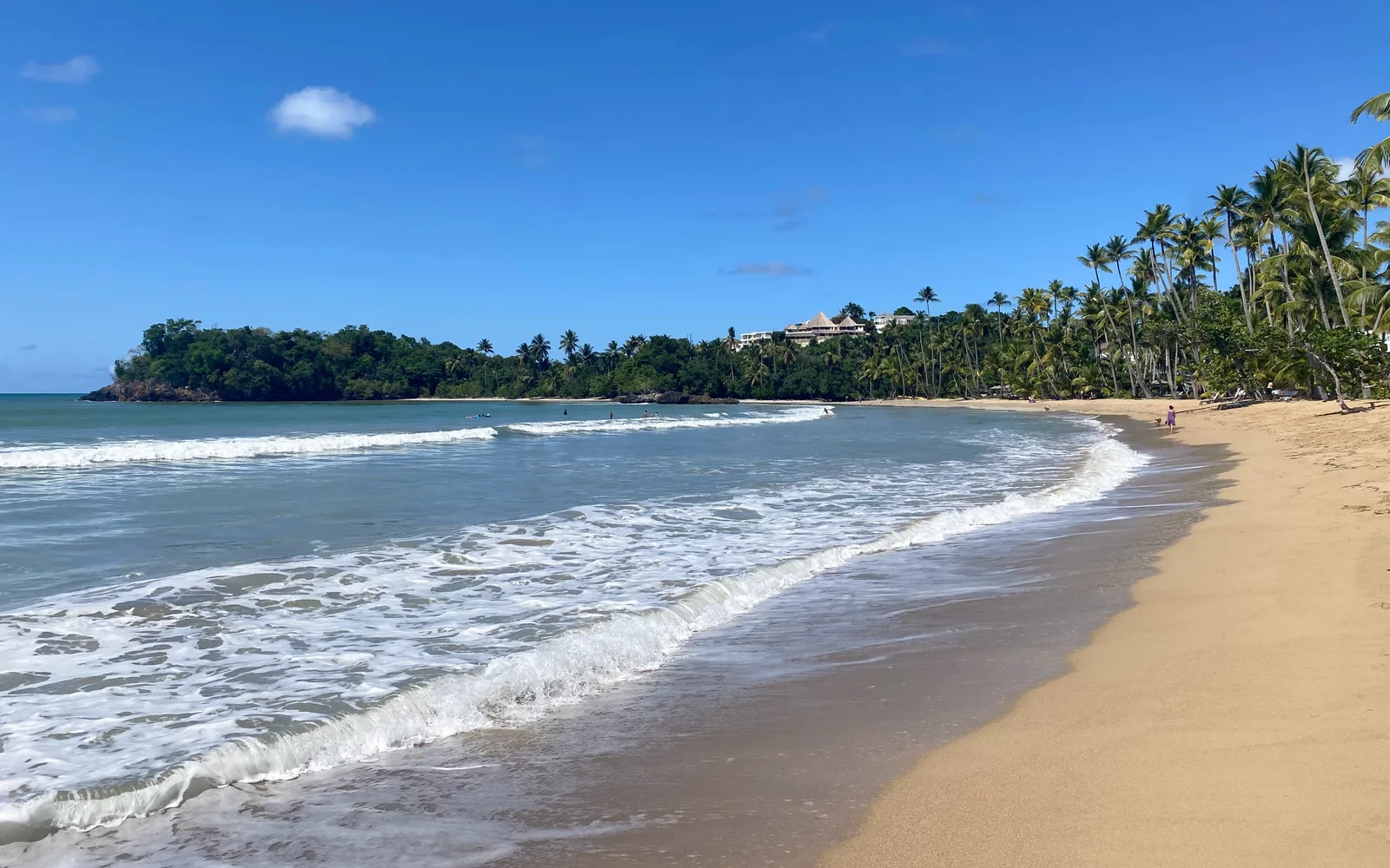
Playa Bonita coast at Las Terrenas, with palms and breaking waves.

Playa Bonita ↗

A Las Terrenas beach setting to compare with a town-oriented stay. Add it as an individual coast visit rather than a label for the whole peninsula.

Confirm the actual access point and return transport locally. This orientation pin is not an entrance, and the guide does not assess current swimming conditions or access through a private property.

Playa Cosón ↗

Another coast setting around Las Terrenas. Compare it with Playa Bonita and the actual location of your accommodation before planning the day.

Ask locally about the practical access point and current conditions. A beach recommendation does not guarantee calm water, facilities, parking or an accessible route.

Playa Rincón ↗

A beach visit in the Las Galeras part of the Samaná peninsula. Put the journey from your actual accommodation into the plan before choosing other stops.

Arrange the actual access and return locally. The map point is a beach-area orientation only, not a road endpoint or boat meeting point. Confirm current conditions directly.

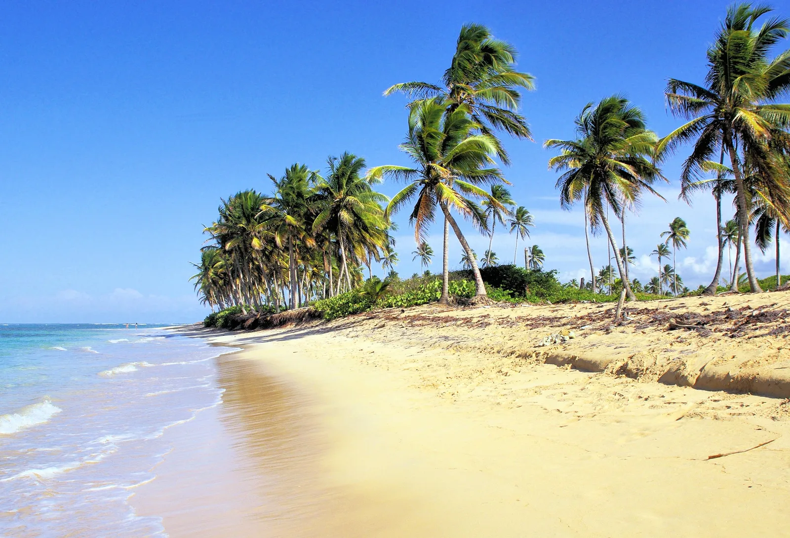
Palm trees beside the beach at Bávaro

Bávaro Beach ↗

A palm-lined stretch of the Punta Cana coast. Choose a section near your base.

The pin represents one beach section, not a verified public entrance. Check access and water conditions locally.

Macao Beach ↗

An Atlantic beach outing to consider separately from a day on Bávaro Beach.

Check surf and local guidance before entering the water. Arrange return transport before setting out.

See beaches on the map
WhatsAppQuestions? We're happy to help.